

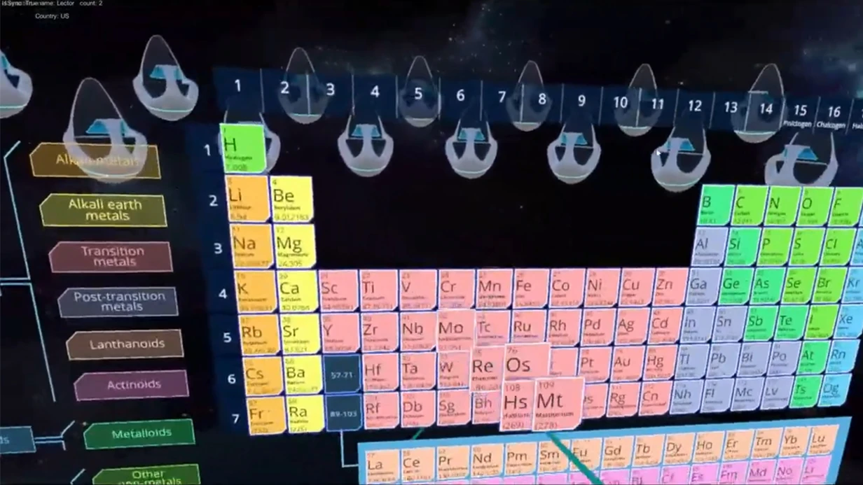


מדוע גיאולוגיה וחיפושי מחצבים מפסידים ללא כלי VR
בחיפושי מחצבים, המנצח הוא לא זה שיש לו הכי הרבה נתונים, אלא זה שיכול להציג אותם במהירות למקבל ההחלטות.
משקיע, נציג מחזיק תת-קרקע או מומחה ממשלתי לא תמיד מוכן לעבור על עשרות עמודים של דוחות ומפות שטוחות — הם צריכים בהירות וביטחון.
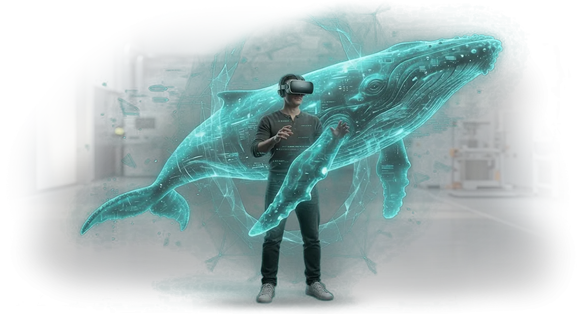
בזמן שאתם בונים מודלים מנטליים ממספרים, המתחרים כבר מטביעים את הלקוח במרחב תלת-ממדי של המרבץ שבו הכל נראה: שטח, שכבות, העתקים ואזורים מבטיחים.
כאן בדיוק מתחילה נשירת הלקוחות. חברות שמציעות אפליקציות VR לגיאולוגיה וחיפושי מחצבים תופסות את תשומת הלב של הלקוח מהדקות הראשונות של המצגת — ומקבלות אור ירוק מהר יותר.
הפרויקטים שלהן נראים כמו קפיצה לעתיד, בעוד דוחות רגילים נראים כמו אתמול. אם הצוות שלכם לא משתמש בכלי הזה, אתם מסתכנים להישאר ברשימת "הספקים הפוטנציאליים" במקום ברשימת המנצחים.
אפליקציות VR עבור HTC Vive מספקות את היתרון התחרותי הזה שקשה להפריז בחשיבותו. זה לא רק תמונה יפה — זו דרך לקצר את זמן האישורים ולהגביר את האמון במסקנות שלכם.
כשהלקוח רואה את המודל הגיאולוגי בקנה מידה מלא בעיניים שלו, הוא לא צריך לקחת אתכם במילה — הוא הופך לחלק מהתהליך.
גישה זו מסירה התנגדויות כבר בשלב המשא ומתן והופכת את החברה שלכם למובילת טכנולוגיה בעיני השוק.
אנחנו לוקחים את הנתונים שלכם והופכים אותם למרחב אינטראקטיבי שעובד בשבילכם. הפתרונות שלנו לחיפושי מחצבים בנויים סביב משימות אמיתיות — מהדגמת עתודות ועד הכשרת כוח אדם.
כשאתם עובדים איתנו, אתם מקבלים כלי שלא רק משלים דוחות אלא משנה את חוקי המשחק לטובתכם.
אילו יתרונות מדידים VR מביא לצוותי ייצור
חיפושי מחצבים הם עבודה מתמדת עם נפחי נתונים גדולים, שבהם טעות עולה ביוקר. כלים מסורתיים הם מקוטעים, בעוד VR מביא אותם לתמונה אחת ומאיץ קבלת החלטות.
אנחנו מפתחים אפליקציות עבור HTC Vive שנותנות לצוותי ייצור לא רק ויזואליה אלא תוצאות מדידות.
-
חיסכון בזמן. במקום שבוע של עבודה על דוחות — מודל תלת-ממדי ברור שבו חריגות נראות מיד. זמן הניתוח של מידע גיאולוגי מצטמצם פי כמה, מה שאומר שהקידוח מתחיל מוקדם יותר ועלויות הפרויקט יורדות.
-
בטיחות. אזורים מסוכנים, תנאי קידוח קשים, סיכון קריסה — את כל זה אפשר לתרגל בסביבה וירטואלית בלי לסכן אנשים. הכשרת עובדים מהירה יותר וללא פציעות.
-
ויזואליזציה של נתונים. חתכים סייסמיים, לוגים של קידוחים, מבנה התצורה מפסיקים להיות הפשטות. מהנדסים רואים את התמונה המלאה ומוצאים קשרים שמוחמצים על מסכים שטוחים.
-
אמון לקוחות. כשמשקיע או מנהל רואה את המרבץ ב-VR, הוא לא צריך לקרוא עשרות שקופיות. הוא מעריך סיכונים ופוטנציאל בעצמו — זה מאיץ אישורים ומגדיל את הסיכויים לחוזים חוזרים.
נלווה את הפרויקט מהגדרת המשימה ועד ההשקה, ואתם תקבלו כלי עבודה עם מדדים ברורים. נסביר איך פתרון VR ישתלם במקרה הספציפי שלכם.
פורמטים של פתרונות VR לגיאולוגיה וחיפושי מחצבים לפי משימות עסקיות
בגיאולוגיה וחיפושי מחצבים, משימות שונות דורשות פורמטי VR שונים. חלק צריכים להראות מרבץ למשקיע בלי ביקור בשטח, חלק צריכים להכשיר צוות קידוח, וחלק צריכים להכין מצגת מכרז.
אנחנו מתאימים את הפורמט למשימה כדי שתקבלו תוצאות: אישורים מהירים יותר, פחות טעויות, החלטות ברורות באתרים.
סיורים וירטואליים והצגות אובייקטים
כשהאובייקט עדיין לא קיים או נמצא במרחק אלפי קילומטרים, סיור VR מחליף ביקור בשטח. אנחנו מראים לשותפים ולרשויות ממשלתיות תצוגה ריאלית של המרבץ, המחצבה או אתר הקידוח — זה מאיץ אישורים ועוזר לכם להתחיל לעבוד מהר יותר.
הכשרת כוח אדם ופיתוח מיומנויות
טעות של עובד בגיאולוגיה היא יקרה: ציוד שבור, קידוח מושבת, סיכון חיים. סימולטור VR מאפשר למתחיל לתרגל פעולות עד כדי אוטומטיות, וצוות מנוסה יכול להיבחן על מצבים לא סטנדרטיים. כתוצאה מכך, הבטיחות ומהירות התגובה משתפרים ישירות באתר.
השוואת פורמטים למשימות עסקיות
| פורמט VR | למי | מה זה נותן ללקוח |
|---|---|---|
| סיור וירטואלי | משקיעים, שותפים, רשויות ממשלתיות | הצגת אובייקט ברורה ללא ביקור בשטח, אישורים מהירים יותר |
| הכשרת כוח אדם | צוותי קידוח, גיאולוגים, טכנאים | תרגול מיומנויות בטוח, פחות טעויות ותאונות |
| הצגת אובייקט | מחלקות מכירות, צוותי מכרזים | הדגמה משכנעת של יתרונות אתר או מרבץ |
כבר ביצענו פרויקטים כאלה עבור חברות כרייה וחיפושי מחצבים: אנחנו מפרקים את המשימה, בוחרים את הפורמט ומראים את התוצאה באתר שלכם. אם אתם לא בטוחים איזה פורמט מתאים, נתחיל עם בריף קצר — זה לוקח יום עסקים אחד.
איך התהליך עובד: מהגדרת משימה ועד השקה והכשרה
בנינו את התהליך כך שתמיד תדעו באיזה שלב העבודה נמצאת ומה תקבלו בסוף. כל שלב מתואם איתכם — אין החלטות בלתי צפויות או לוחות זמנים נסתרים. להלן המסלול הסטנדרטי ליצירת אפליקציית VR לגיאולוגיה וחיפושי מחצבים.
- בריף וניתוח משימה. אתם מספרים לנו אילו נתונים ואובייקטים צריך לויזואליזציה. אנחנו מבהירים את המטרות, הקהל והתרחיש העבודה — כך שהאפליקציה פותרת בעיה ספציפית ולא רק הדגמה נוצצת.
- קונספט ותוכנית עבודה. אנחנו מכינים הצעה טכנית: היקף האפליקציה, שלבים ולוחות זמנים. אתם מאשרים את התוכנית לפני תחילת הפיתוח.
- פיתוח עם אישורי ביניים. אנחנו יוצרים מודלים תלת-ממדיים, לוגיקה וממשק. אנחנו מראים גרסאות ביניים — תיקונים נעשים בשלב מוקדם, כשהם לא דורשים עשיית כל העבודה מחדש.
- בדיקות על ציוד. אנחנו בודקים את האפליקציה על חומרת ה-VR שלכם: נוחות, תגובה, היעדר שגיאות. אתם יכולים גם לבדוק את התרחיש בשידור חי.
- השקה ומסירה. אנחנו מתקינים את האפליקציה על המחשבים והמשקפיים שלכם ומגדירים תרחישי עבודה. אנחנו מוסרים תיעוד וחומרים — אתם לא תלויים בקבלן ספציפי.
- הכשרת עובדים. אנחנו מבצעים הכשרה מעשית: איך להפעיל VR, להריץ פרויקטים, לעבוד עם כלים ולבצע שינויים בסיסיים. אחרי יום או יומיים, הצוות עובד באופן עצמאי.
- תמיכה ופיתוח. אנחנו נשארים בקשר אחרי ההשקה: עוזרים בעדכונים, מוסיפים נתונים חדשים ומשכללים פונקציונליות למשימות משתנות.
בסופו של דבר, אתם מקבלים לא הדגמה אלא מערכת עבודה משולבת בשגרת העבודה היומיומית של גיאולוגים ומומחי חיפושי מחצבים. פרויקטים עתידיים יכולים להיבנות על הבסיס שלה — בלי לנתח את המשימה מחדש מאפס.
מה כלול במסירה: ערכה להשקה ותמיכה
אתם מקבלים לא רק אפליקציה מוגמרת אלא כלי שהצוות שלכם יכול לנהל ללא מתווכים. חבילת המסירה מעוצבת כך שתוכלו לפרוס את המערכת על חומרה משלכם, להכשיר עובדים ולבצע שינויים כשצריך בלי להזמין מפתח.
מה כלול בחבילה:
- קוד המקור של הפרויקט — בעלות מלאה על המוצר. אתם יכולים למסור אותו לצד שלישי, לפתח בעצמכם או להזמין מאיתנו שכלולים בלי להיות "נעולים" לקבלן אחד.
- תיעוד טכני — הוראות התקנה, הגדרה והפעלה על המחשבים והתקני ה-VR שלכם. הכל מתואר שלב אחר שלב כך שהמהנדס שלכם יכול להתמודד בלי המעורבות שלנו.
- מדריך משתמש — בשפה פשוטה לגיאולוגים ומומחי שטח: איך לעבוד ב-VR, לטעון מודלים של מרבצים, לבצע מדידות ולשמור תוצאות.
- תיאור מבנה הנתונים — הסבר ברור איך סצנות גיאולוגיות מאורגנות, איך להוסיף אובייקטים חדשים ואיך לעדכן נתונים בלי תכנות.
- חומרי הכשרה — הוראות וידאו קצרות והדגמות להטמעה מהירה של עובדים חדשים. אין צורך לחכות שהמומחה שלנו יבצע הכשרה.
- כלי תצורה — קבצי תצורה ולוחות ניהול לשינוי פרמטרים של האפליקציה: עומס גרפי, הרכב תפריט, הרשאות גישה לתפקידים שונים.
- תחזוקה ותמיכה — תקופת אחריות עם מענה מהיר לשאלות, תיקוני באגים ועדכוני תאימות לגרסאות חדשות של חומרה ותוכנת מערכת.
למה זה חשוב לכם? ראשית, אתם לא נשארים לבד עם הטכנולוגיה — בחבילה יש כל מה שצריך כדי להפעיל את התוכנית ולתחזק אותה עם הצוות שלכם.
שנית, אתם שולטים בלוחות זמנים ובתקציב: כל שכלול מתומחר ביושר כי יש לכם קוד מקור ושקיפות מלאה.
שלישית, אתם מוגנים מהשבתת עבודה: אם הקבלן נעלם, הפרויקט ממשיך לרוץ, וכל משימה יכולה להיאסף על ידי מומחה אחר על סמך התיעוד.
התמיכה לא מסתיימת במסירת הקבצים. במהלך תקופת האחריות, אנחנו עונים על שאלות, עוזרים בהתקנה לציוד הספציפי שלכם ומשחררים תיקונים במהירות.
אחרי זה, אתם יכולים לתחזק את האפליקציה בעצמכם או להזמין תמיכה מורחבת — הבחירה היא שלכם ככל שמספר המכשירים והמשתמשים גדל.
מקרה בוחן: איך פתרון VR קיצץ עלויות סיורי שטח
סיורי שטח של גיאולוגים הם אחד מסעיפי ההוצאה היקרים ביותר בכל פרויקט חיפושי מחצבים. כל משלחת דורשת תחבורה, ציוד, לינה וזמן נסיעה, וההערכה הסופית של אתר נמשכת שבועות.
עבור חברה עם נסיעות תכופות, זה לא רק הוצאה — זה האטה של כל מחזור קבלת ההחלטות.
לקחנו את זה על עצמנו כשחברת חיפושי מחצבים פנתה אלינו וביקשה לדיגיטציה של המסלולים האופייניים שלהם.
במקום לשלוח צוות לכל אתר, פיתחנו פתרון VR המבוסס על HTC Vive שמאפשר לגיאולוג לבחון את השטח, לחקור דגימות סלע ולסמן מיקומים ישירות בסביבה הווירטואלית.
המומחה נשאר במשרד אבל "הולך" במסלול בפירוט רב כאילו היה בשטח.
התוצאות היו מוחשיות. החברה הפחיתה את מספר סיורי השטח ב-60%, ואת עלויות הלוגיסטיקה וההכנות בשטח בכמעט שליש.
היכן שהערכת אתר מבטיח אחד נמשכה שלושה שבועות כולל נסיעות, עכשיו אנחנו נכנסים ליומיים: נתונים נטענים למערכת, הגיאולוג בוחן את האתר מרחוק, והערכה ניתנת מיד. החיסכון באתר הראשון בלבד כיסה את השקעת הפיתוח.
ראש מחלקת החיפושים ציין: "נהגנו לבזבז תקציב וחודשיים-שלושה בשנה על השבתות בין נסיעות.
עכשיו יש לנו עותקים וירטואליים של אתרים מרכזיים, ואנחנו מבינים מהר לאן באמת צריך לנסוע." הניסיון הזה הראה ש-VR הוא לא צעצוע אלא כלי שמשתלם כבר מהפרויקטים הראשונים.
הפחתת הנסיעות גם הניבה תועלת נוספת: פחות השבתות בגלל מזג אוויר, סיכונים נמוכים יותר לעובדים באזורים קשים לגישה, ותגובה מהירה יותר לשינויים.
עבור העסק, זה אומר לא רק חיסכון אלא חיפושי מחצבים צפויים — אפשר לתכנן תקציבים בצורה מדויקת יותר ולהפנות השקעות לאזורים מבטיחים בזמן.
העותקים הווירטואליים של האתרים ממשיכים לעבוד עבור החברה: הם משמשים להכשרת מומחים, מצגות למשקיעים ובדיקות מומחים מהירות יותר.
איך לבחור את פורמט ה-VR שמתאים לצוות שלכם?
התשובה הקצרה: פורמט ה-VR לא נקבע על ידי טרנדים אלא על ידי שלושה גורמים — המשימות של הצוות שלכם, הסביבה שבה הפתרון ישמש, והתקציב שלכם.
לפני שמשווים משקפיים ומסכים, שאלו את עצמכם מה בדיוק צריך להשתנות בעבודה של הגיאולוגים או ההנהלה שלכם אחרי יישום המציאות המדומה.
אם הצוות חוקר מבני תצורה, מתאמן לפני פריסה בשטח, או בוחן מודלים נפחיים של סלעים — אתם צריכים VR מפורט במיוחד. פורמט נייח המחובר למחשב חזק, כמו HTC Vive, מתאים למשימות אלה.
כאן, דיוק וריאליזם חשובים יותר מניידות: מומחה צריך לראות את הפרטים העדינים ביותר ו"להיכנס" בחופשיות לתוך המודל.
אם עובדים בשטח או שצריך לשתף נתונים במהירות בין אתרים שונים — הסתכלו על משקפיים עצמאיים. הם קלים יותר לפריסה אבל מפסידים בפרטים ובעומק החוויה.
למצגות למשקיעים או אישורי קבלנים, פורמט קל שמראה תוצאות מפתח בקנה מידה אמיתי בלי הכנה מורכבת הוא לעתים קרובות מספיק.
התקציב גם משפיע על הפורמט אבל לא קובע אותו לחלוטין. ערכה נייחת בדרך כלל יקרה יותר בגלל הרכיב המחשובי; עצמאית זולה יותר בחומרה אבל דורשת יותר זמן להתאמת תוכן.
הדרך הנכונה לבחור היא לא "כמה עולה VR," אלא "איזו משימה אנחנו פותרים ובאילו תנאים." אחרי זה, מומחה יבחר את הפורמט ויכין הדגמה על הנתונים שלכם.
אם אתם לא בטוחים, פשוט שלחו תיאור של זרימת העבודה של הצוות שלכם. נהפוך אותו לפורמט קונקרטי: תרחיש, ציוד ולוחות זמנים. ככה, אתם מקבלים פתרון שמשתלם ולא רק חבילת חומרה.
שאלות נפוצות על פרויקטי VR: תשובות לפני שמתחילים
לפני תחילת פיתוח אפליקציית VR לגיאולוגיה וחיפושי מחצבים, ללקוחות יש אותם ספקות: כמה זמן זה ייקח, מה לעשות עם ציוד, ומי אחראי על התוצאה.
זה נורמלי — פרויקט מסוג זה גדול יותר מאתר רגיל, וכולל נתונים גיאולוגיים, צוותי שטח ומצגות למשקיעים. אז אנחנו עונים על השאלות המרכזיות לפני תחילת העבודה, כדי שתוכלו לקבל החלטה עם תמונה ברורה.
אילו ערבויות יש שהפרויקט יעבוד בתנאי שטח?
אנחנו עובדים על ציוד HTC Vive מקצועי שכבר נמצא בשימוש בתעשייה, ואנחנו בודקים תרחישים עם נתונים גיאולוגיים אמיתיים. אחרי ההשקה, תמיכת האחריות נשארת: אנחנו מתקנים באגים, מרחיבים סצנות ומייעצים לצוות שלכם. עבורכם, זה אומר שהסימולטור לא יהפוך למוצג באולם תצוגה אחרי חודש.
כמה זמן ייקח הפיתוח למשימות חיפושי מחצבים?
לוחות הזמנים נקבעים אחרי אישור הבריף והתרחיש. בדרך כלל שלושה עד שמונה שבועות להדגמה עובדת ראשונה: איסוף והכנת נתונים, יצירת סצנות וירטואליות, בדיקות על המכשירים שלכם.
אתם מקבלים תוכנית לוח שנה עם אבני דרך וקבלה בשלבים — אתם רואים התקדמות ויכולים להשפיע על התוצאה לפני המסירה הסופית.
האם נצטרך לקנות ציוד VR משלנו?
לפיתוח וקבלה, אנחנו מספקים ערכות להשכרה או משתמשים במשקפיים שלכם. אם כבר יש לכם ציוד, אנחנו מתאימים את האפליקציה לצי החומרה שלכם. אם לא, נעזור לכם לבחור תצורה שתואמת את המשימות שלכם כדי שלא תשלמו על מיותר.
אנחנו יכולים לקיים שיחת ייעוץ קצרה, להראות דוגמאות של פרויקטי VR לגיאולוגיה וחיפושי מחצבים, ולהציע תרחיש למשימה הספציפית שלכם. אין התחייבות — רק נבהיר את השאלות המרכזיות.בואו נדון במשימה שלכם ונכין הערכת עלות לפרויקט VR
אתם עובדים עם מרבצים שבהם כל החלטה עולה הרבה. הצגת מודל גיאולוגי למשקיע או הכשרת עובד לעבודה בטוחה בשטח היא קשה, גוזלת זמן ומסוכנת.
אפליקציית VR מעבירה את הגיאולוגיה וחיפושי המחצבים שלכם לסביבה וירטואלית בטוחה: חתכי תצורה, מחצבות, בארות ומסלולים — הכל מתעורר לחיים על המסך. אנחנו בונים פרויקטים כאלה כבר 10 שנים ומוכנים לדון במשימה שלכם.
השאירו פנייה — ומיד אחרי שתפנו אלינו, תקבלו:
- ייעוץ על המשימה שלכם: יחד נזהה היכן VR יניב תוצאות מהירות — מצגת, הכשרה, ויזואליזציה של נתונים או סימולטור כוח אדם.
- הערכת עלות ראשונית לפרויקט: לוחות זמנים ועלות מחושבים אחרי בדיקה, כדי שתבינו את התקציב והשלבים.
- פורמט מותאם למטרה שלכם: סיור וירטואלי במרבץ, מודל אינטראקטיבי למשקיעים או תרחיש הכשרה לגיאולוגים.
- המלצות ציוד: נייעץ מה מתאים למשימות שלכם, כולל עבודה על חומרת VR מודרנית של HTC Vive.
- תוכנית יישום: איזה נתונים להכין, אילו שלבים נעבור ומתי תקבלו את הגרסה הראשונה של הפרויקט.
- הערכת צוות ומשאבים: מי יעבוד על הפרויקט וכמה מהר תקבלו תוצאות.
שליחת פנייה לא מחייבת אתכם להתחיל — זה דיאלוג עבודה. נכין את ההערכה, ואתם תקבלו החלטה בלי לחץ.
השאירו את פרטי הקשר שלכם דרך הטופס — נגיב תוך יום עסקים אחד, נקבע את הייעוץ ונתחיל בפרויקט שלכם.